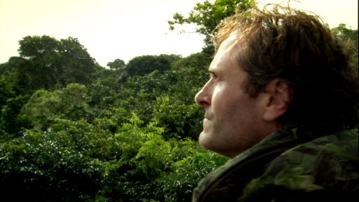
We all agreed that the more we knew about the whole area, the better we would be at trying to capture some of the film sequences that were required. So “H” and I planned a recce trip going further east than we had been before.
Whoopee! Back to exploring! So “H” and I – suitably equipped with food, water and a safety call strategy (this was my primary job, apart from the dishes!) and trusted iron horse Polaris (the all-terrain vehicle, ATV) – took off to discover the eastern boundaries of the wolf pack’s territory.
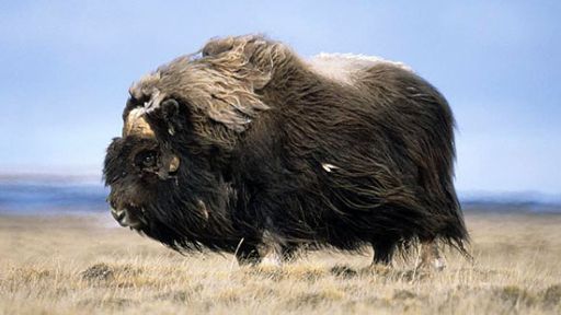
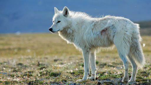
It is said that territories could stretch anything from 100 sq miles to a 1,000 dependent upon the amount of food available; food being muskoxen, Arctic hare, caribou and lemmings.
We headed along the beach first towards River 4 which we crossed without much of a problem. Then we came to River 5 which although we could cross most of it, the last deep, fast-flowing channel proved too much of a risk to Polaris to justify.
These ATVs were crucial as our means of travel and we didn’t want to lose that ability.
So, we headed inland along the western bank of River 5 which started to get steeper and steeper and revealed a deep gorge as we approached the first of a series of mountains running parallel with the coast.
It turned out to be very deep and sheer and a very dramatic landscape to look at.
The adjacent land on our bank was just like a desert, virtually devoid of any life save for the most hardy of plants. Having worked out we couldn’t cross this river further up, we started to ascend the foothills of the mountain but it got progressively more rocky and therefore more uncomfortable, especially for H riding shotgun as ever.
So we then proceeded to follow the base of the mountain around to a high point looking north.
We were travelling further up River 3 (the one we’re camped on some 6km downstream) when we came across a patch of green high up on the eastern bank.
On further investigation we found a lush area of many different plants and lots of grasses. H surmised that it was probably a fox den, although perhaps not currently used.
I took photographs of the various flowers and we then proceeded up the hill to the top of the bank and headed off in the direction of the highest point. I wanted to get a reasonable view of the valley which the peaks we could already see lined.
Then disaster struck! I ran the poor ATV into a small patch of really wet mud and got her well and truly stuck. We had pushed our luck for so long and now it had run out. The ironic thing was the fact that if you were looking for a muddy patch, it would have been very hard to find it.
So we got our satellite phone into action and called for Jonny to come and help tow us out with the second ATV, which he did some three hours later.
Meanwhile both H and I took it in turns to reach the top of this particular mound and see the fantastic view of the river valley descending from the big mountains. (A braided river apparently; one which splits up into little braids or streams over a wide area. This then turns into a beaded river when they all start joining together).
We all returned to camp later and had a good chortle at me getting the machine stuck!