Find more from HHMI Tangled Bank Studios at WildHope.tv.
New tracking technologies are uncovering the flight paths of endangered shorebirds — and the obstacles they face along the way.
On a tidal mudflat in Chile, a group of scientists clad in windbreakers and wading boots huddle together under a wooden pavilion, staring intently at the shoreline. The atmosphere is tense. Then — a bang. A vast net sails out over a flock of Hudsonian godwits as the spooked birds explode upward in flight.
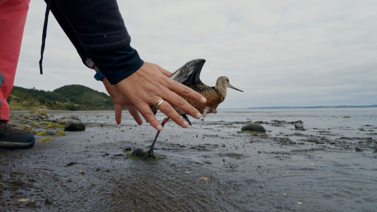
Dashing over, the scientists swiftly untangle around 30 of the football-sized shorebirds and place each one in its own cloth bag. The researchers gently affix solar-powered satellite transmitters to the godwits’ backs with a harness; these will track, in real time, the birds on their epic 9000-mile journey north to breeding grounds in Alaska, and back home again.
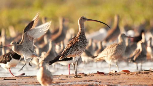
Hudsonian godwits are one of three shorebird species featured in Flyways, a new film from HHMI Tangled Bank Studios that premiered on PBS Nature February 7. The documentary shines a spotlight on an awe-inspiring phenomenon, as the godwits — along with the red knot and the far eastern curlew — undertake some of the longest and most grueling migrations in the animal kingdom, in which they fly for days nonstop without food or water. And the film sounds an alarm: Dozens of shorebird species have suffered precipitous population declines in the past few decades. Researchers are trying to understand the perils the birds encounter along migration paths that were once shrouded in mystery.
Indeed, this intimate look at shorebird migration wouldn’t be possible without recent advances in tracking technology, which can show — day by day — the location of any tagged bird in a flock. The technology has come not a moment too soon, says ecologist Jennifer Linscott.
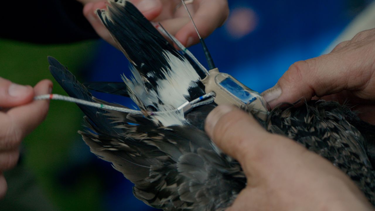
Linscott and a colleague carefully secure a satellite tag to a Hudsonian godwit before it wings its way north to Alaska.
“A lot of us who work in this field are aware of this collapse [of shorebird populations] and this idea that we’re losing something faster than we can learn about it,” says Linscott, who tracks Hudsonian godwits in the film.
It is only in the last decade that satellite transmitters capable of tracking bird movements in real time have gotten small enough to affix to shorebirds like Hudsonian godwits. Before that, the batteries were too heavy for the birds to take on as extra luggage. Now not only are they light enough for the birds to carry, but they can keep the transmitter going for multiple years, beaming data to scientists every day. They’re already providing valuable insights. “We’re just really starting to find out about how incredible they are, so there’s something uplifting about it as well,” Linscott says.
Where the godwits go
Researchers know that godwits need to stop to refuel over the course of their migration, which takes them across several thousand miles of the Pacific Ocean, over the Gulf of Mexico, and across North America until they reach Alaska. Satellite tracking may help scientists answer a key question: What features make a spot of land a good pit stop?
One refueling spot for many shorebirds on North America’s Central Flyway is in the Great Plains region of the United States, where tiny depressions in the landscape turn into seasonal wetlands in the spring. This area is particularly important to Hudsonian godwits, which are up against their metabolic limits by the time they arrive there from Chile.
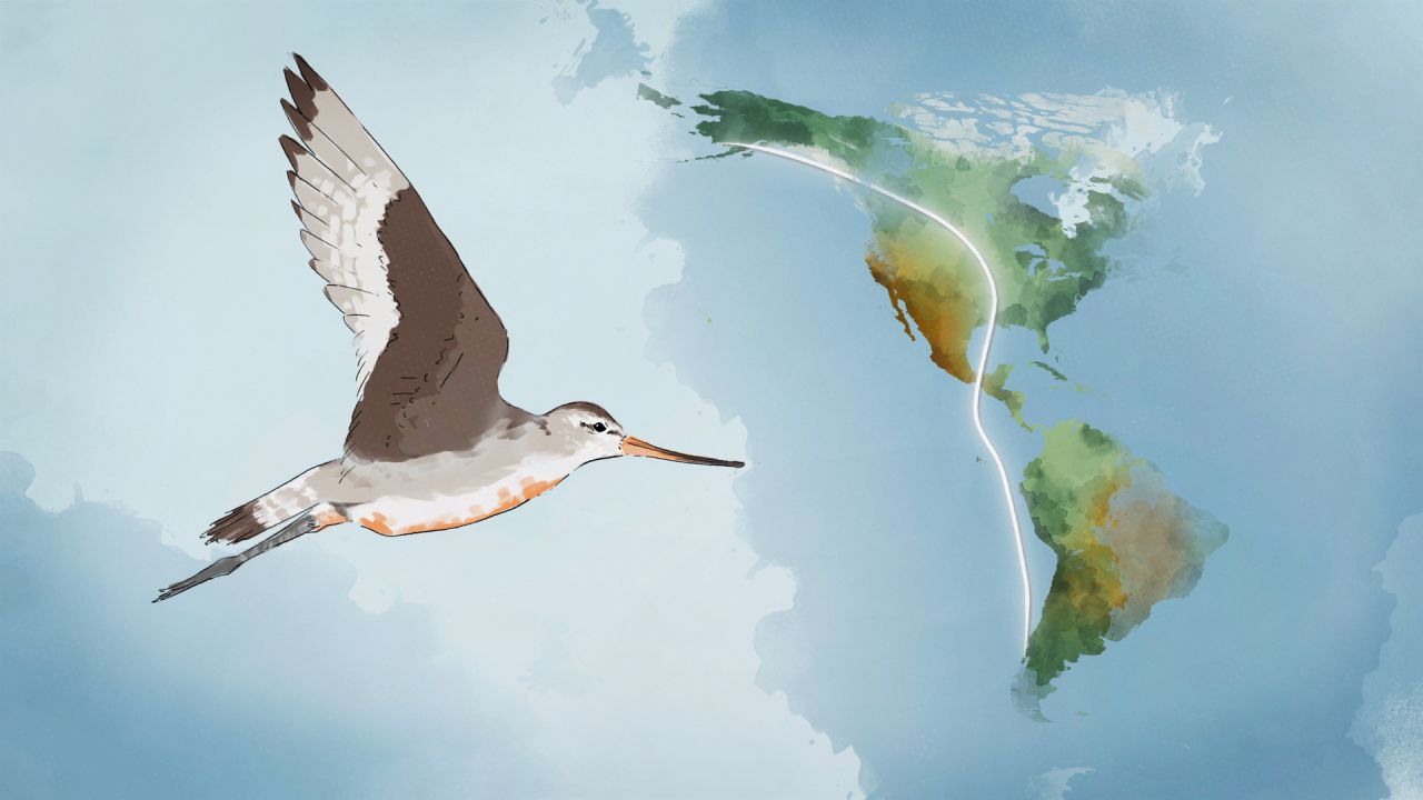
The Hudsonian godwit’s incredible journey north takes it over thousands of miles of open ocean and spans two continents.
When Liscott tracked a tagged female to the plains of Kansas in her first year of data collection, what she learned surprised her. “You think of them as sort of pulling up to a hotel and spending the night somewhere, but it’s not like that at all,” Linscott says. “We’re piecing together more of a network of little ditches in corn fields.”
The female stayed at each stop for just 15 minutes to an hour before hopping over to the next one — usually just a few miles away. The bird roamed about the landscape like this for several days before departing for the final leg of her journey to Alaska.
Tracking has also revealed that the godwits use different stopover spots each year, rather than returning to favored watering holes — perhaps because suitable wetland habitats are ephemeral, or lost to agricultural development. Similar discoveries have been made of other shorebirds. That makes it trickier to come up with clear conservation recommendations. “It’s not as easy as just identifying which land to protect,” Linscott says.
As powerful a new tool as GPS transmitters are, scientists still need on-the-ground observations — of where the birds over-winter, where they breed, and where they stop along their migrations — to better understand their behavior and how vulnerable their populations may be. At the very least, key habitats can be identified and protected, ensuring future generations of shorebirds can carry on their remarkable journeys.
Watch Flyways online on PBS.org, YouTube, or the PBS app to learn more about shorebirds’ epic migrations and the people unlocking the mysteries along the way.

