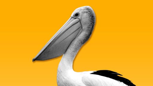
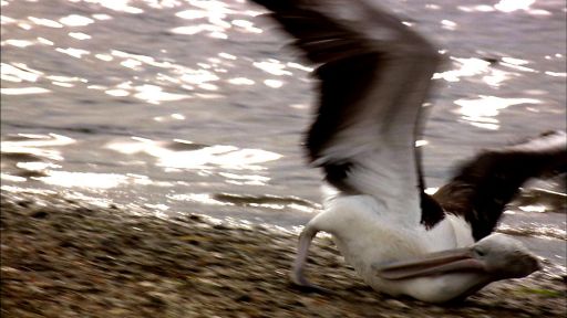
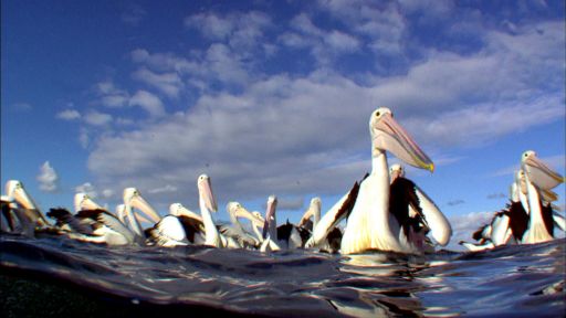
During Australia’s rainy seasons, brimming waterways flow thousands of miles inland toward Lake Eyre, the usually-dry saltpan situated in the Australian Outback and the lowest point on the continent. The amount of rainfall determines whether water will reach the saltpan, and if so, how much. While Lake Eyre does not fill often, 2011 marks the third consecutive year water has reached the area, and this year experts are predicting unusually high water levels. Current monsoonal activity in the surrounding areas leads scientists to believe Lake Eyre flood levels could rival those of 1974, which peaked at 20 feet. (Heavy flood seasons generally peak at no more than 13 feet, and that level of flooding is generally limited to no more than once every ten years or so.) As of March 2011, the southern part of the lake is almost entirely filled, and the larger area in the north is 75 percent covered. With the waterways showing no sign of slowing, 2011 is shaping up to be another fantastic season for Australia’s pelicans. The birds will travel thousands of miles to populate these temporary waters, where they will feed on the bounty of the lake and raise a new generation of chicks.
Check out the current lake status here.